Celebrations | by BANDA
...



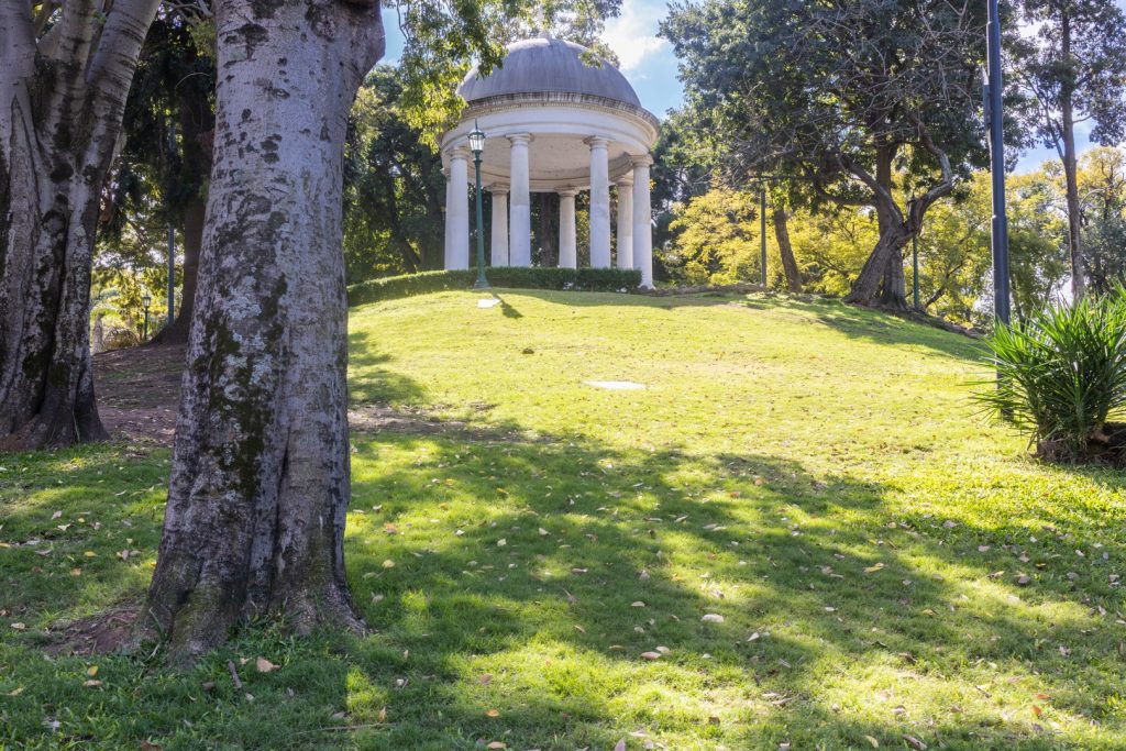
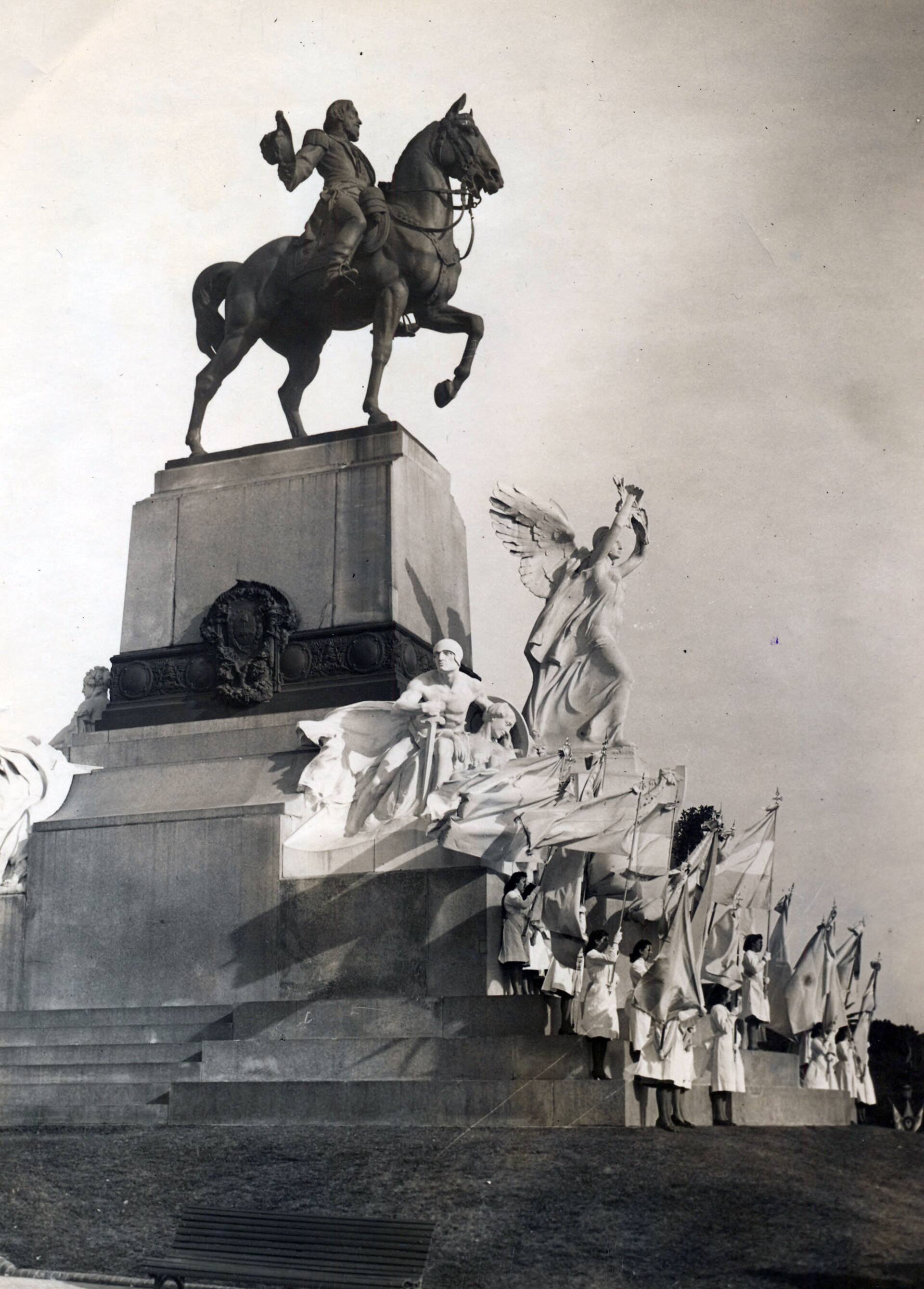
The monument to Bartolomé Mitre was inaugurated in 1927. Made by two Turinese sculptors with prestigious careers, Davide Calandra and Edoardo Rubino, and placed upon the hill, the tribute situates the multifaceted founding father in an unbeatable spot: with a vantage point that allows him to review nearly 100 years of Buenos Aires’s urban history, surrounded by “allegories” that resemble the entourage of a rock star: Victory, Labor, Life, Harmony, among others.¹
Between his eyes and the Río de la Plata lies, in strict disorder, an accumulation of spaces and places that hardly suggest the proximity of a coastal situation or anything resembling one. The hill proper, the plaza that also honors him, Avenida del Libertador, Plaza Rubén Darío, Avenida Figueroa Alcorta, the Floralis Genérica, the tracks of the Mitre (another tribute) and Belgrano Norte railways, the last southern ramifications of Barrio 31, container depots, the Illia highway, more containers, Dársena F, the old Hydroelectric Power Plant.
It is possible to state that, in almost 100 years of life, Mitre’s eyes could record every detail of that vast scene. Like a Funes with a fixed camera, every tree, every lamppost, every window, every train arriving off-schedule was registered by that gaze down to its most specific feature.
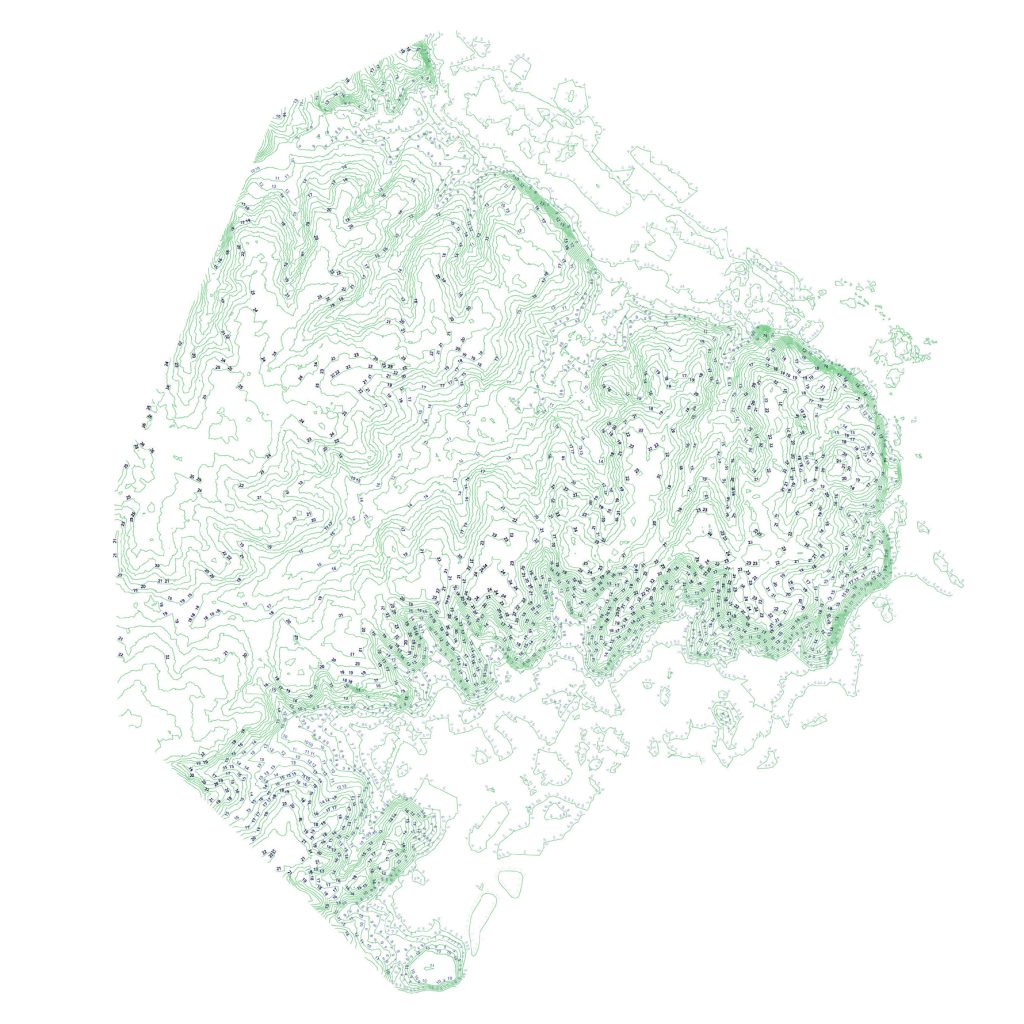
Thanks to the hill —that brief, economical bow the immeasurable territory of the pampa makes to the river— several sectors of Buenos Aires have views, natural lookouts, uncommon events in a city characterized mainly by its almost flat and repetitive geography.
About a ten-minute walk away, also upon the hill but with his gaze turned to the back of the horizon, another Mitre —his son Emilio— has his own monument. He is not surrounded by women. Compared to his father’s, and considering the context, it is simple, almost austere. It stands alone, and it is barely possible to make out who it is. Moreover, the hill here finds itself in less favorable circumstances regarding the vistas and terminations of Plaza Mitre. Right between the streets Posadas and Adolfo Bioy Casares, and somewhat as in a story by that very author, the slope vanishes among the buildings in a fantastical movement. And while it is perfectly perceptible on the streets perpendicular to Avenida del Libertador toward the south, its effect is completely sterilized by the sheer fabric of buildings on top of it. All along the coast, the built fabric and the stream basins neutralize the hill at irregular intervals. It is like an intermittent radio signal waiting to be tuned in only by total, exquisitely fine-tuned ears.
Emilio Mitre was a politician, journalist, and engineer. During his years of parliamentary work, he stood out for raising an authoritative and rigorous voice in the technical debates in which the infrastructures that would shape the economic form of the urban spaces of a young nation —one far behind the rest of the developed world in terms of incorporating large-scale technical innovations— were discussed.
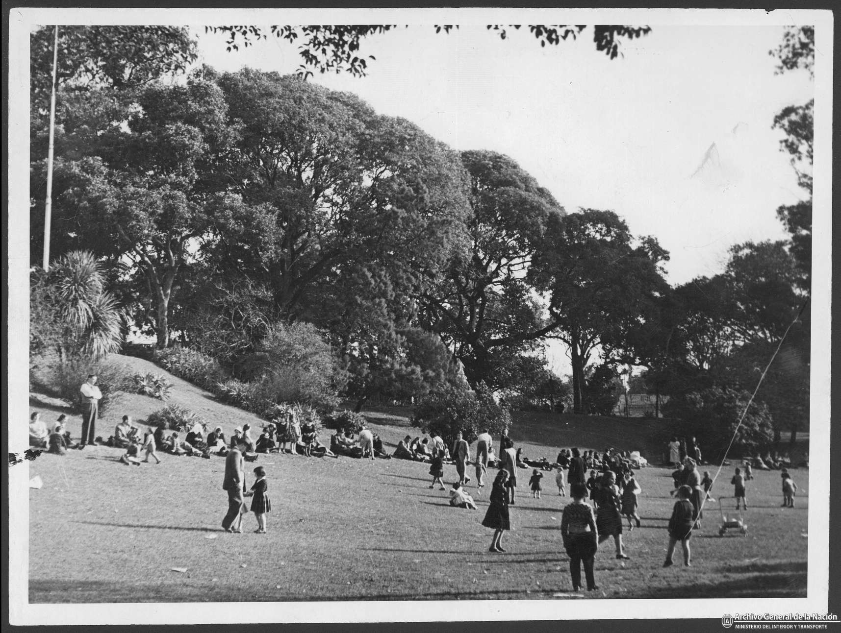
Sheltered beneath the branches of a historic rubber tree, his gaze turned toward Avenida Alvear, his stance toward problems —rational, concrete, reasoned— can be perfectly savored, almost as if one had known him in person.
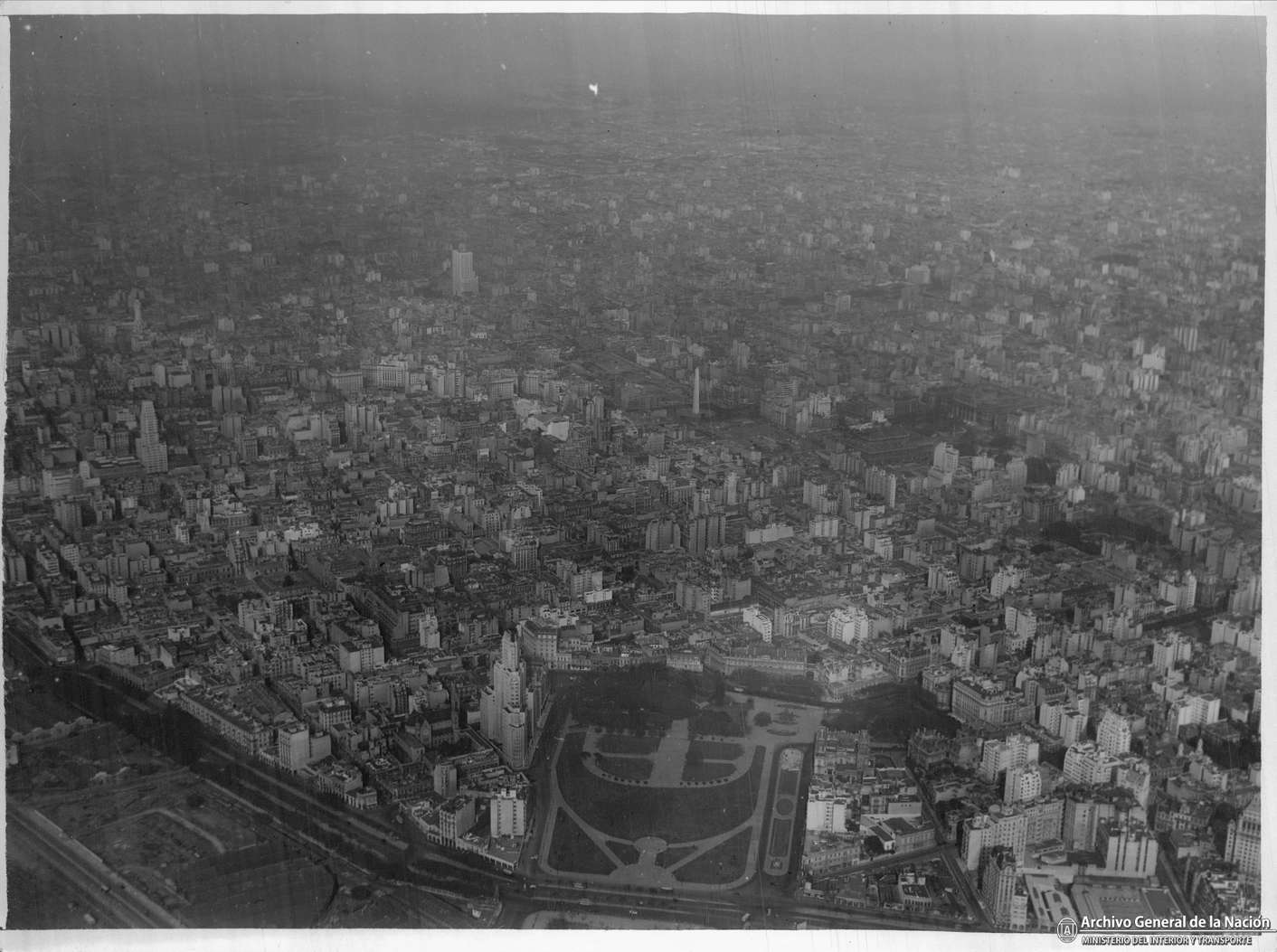
A hill can be, first and foremost, a place to see more and to see farther. But it can also be a place to step away, to avoid getting swept up in the bustle of the city, its problems, and its fabric, to contemplate things with a certain degree of abstraction. If the founding, fundamental technical fact of Buenos Aires —its organization of space into a regular grid— did nothing but underscore its most relevant geographic condition, its flat and continuous topography, then it stands to reason that any interruption or transgression of that logic would always be observed with a particular, or even distrustful, gaze.
What do we do with the hills? Do we celebrate them by adding more monuments, or do we gradually cover them up in make-up like a late, puerile bout of acne? Do we disguise them with urban equipment, or do we cut them out of their context so they can hold an entity of their own: a finale, a celebration, a memory?
Along the old coastline —which is harder and harder to believe ever existed— the Hill has exceptional moments of prominence, as in Plaza San Martín or the already-mentioned Plaza Mitre, and also long stretches where it nearly disappears altogether, barely misfiled among buildings of every kind, enabled over time by the regular grid.
In perceptual terms, recognizing it spatially, at certain moments, represents a precious discovery, the sudden awakening from an oblivion that one had already accepted as good out of sheer habit.
Everything would seem to suggest that the hills have, by now, taken on the entity of an archaeological phenomenon: material for Sunday newspaper columns, Instagram reels, and café conversation. But seen from another angle, if one digs into the list of national celebrities with monuments upon them, the set does not disappoint and sheds light on another aspect: San Martín, Borges, Cortázar, Perón, John Paul II, Evita, and even the club’s own founding member, Pedro de Mendoza, among others. Together they compose a kind of Sgt. Pepper’s of national identity, a factored, discontinuous Pantheon of Heroes that holds the honor of having under its eyes some of the best views in Buenos Aires. Taking into account the intermittence of the hill within the whole of the urban form, the question worth asking is whether they were actually being honored or whether, deep down, they were simply left forgotten out there.
Some buildings and public spaces in the low-lying areas reproduce, as in a reflection or a fragmented memory, the slopes and accidents of the hill. The building for ATC (today Televisión Pública Argentina), by M|SG|S|S|V|, built to broadcast the 1978 Football World Cup, and the Micaela Bastidas park, built in 2003 within the framework of the National Competition of Preliminary Designs for the “New Green Areas for Puerto Madero and the Revitalization and Enhancement of the Costanera Sur,” are two of the examples that seem best to represent this phenomenon. Although both projects have entirely different origins, there are elements in their spatial approaches, in the development of their slopes, and in their scales that seem to lucidly dream certain perceptions of the hidden geography from which they arise.
The first, with a winning and iconic technical gesture: the inclined plane, the artificial hill that made it possible to generate a harmonious relationship with the context of parks and institutional buildings, which was closed off shortly afterward, sterilizing its main urbanistic function and essence.
The second, as part of a broader system, which in its own decision-making and morphology sums up all the drives of the area upon the specific plot of the park. The hill, the river, the boundary between public and private, the encounter between the port and the city, the tensions between the pre-existing and the new.
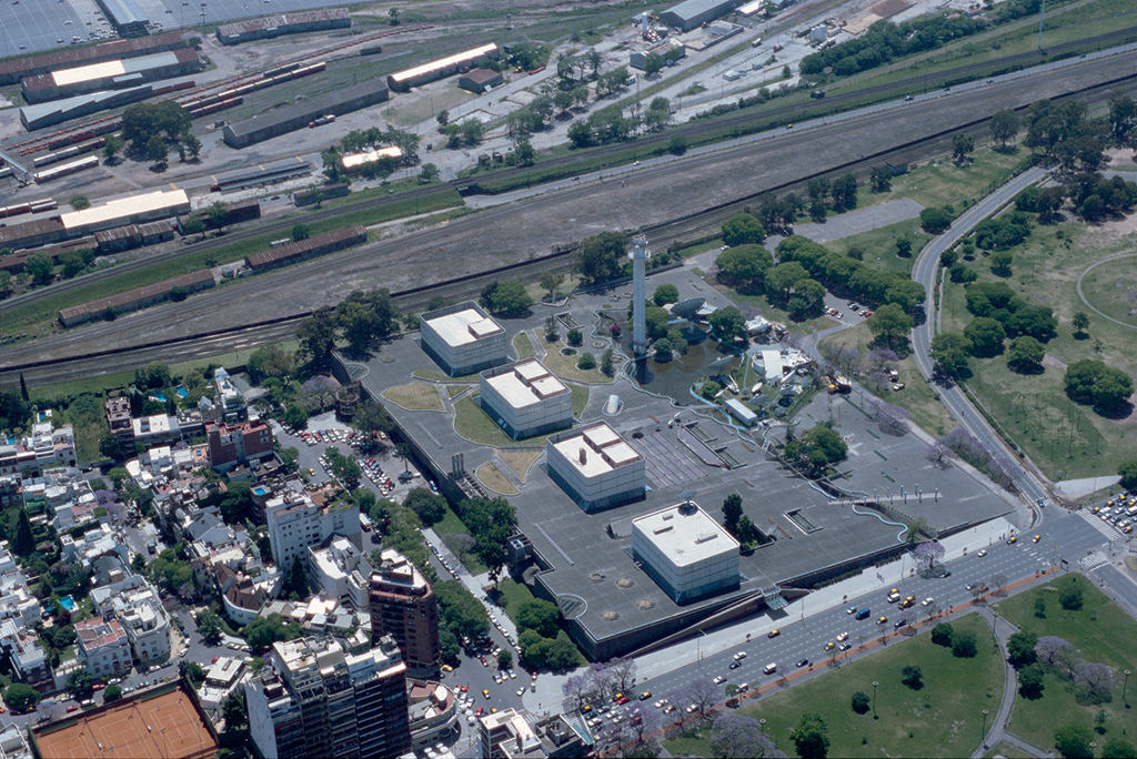
Finally, there is the Buenos Aires Exhibition Center building, designed by Edgardo Minond and winner of a competition in 2013, which also effectively uses the resource of the slope to generate a new public space and an alternative visual and perceptual experience, split off from the speed and sonority of Avenida Figueroa Alcorta. There are nuances worth highlighting with respect to the previous cases. With its sloped space integrated into a lower level where the entrance to the current terminus of the Line H subway coexists with a system of spaces for gastronomic concessions, the elevated surface seems to separate itself even further from the ground datum and from everything around it. The direct view of the highest shacks of the last appendix of Barrio 31, the Illia Highway, and the possibility of contemplating —and above all of hearing— the railway landscape sheds light on what a hill can be good for. To escape, to allow the eyes to see what is not perceived at first glance, to hear what is daily lost in the white noise.
Ruiz Díaz de Guzmán is, technically, the first Paraguayan writer and one of the first born in the governorship of the Río de la Plata and Paraguay. His work, popularly known as La Argentina (Annals of the discovery, settlement, and conquest of the Río de la Plata), of 1612, develops the first local account that weaves together views of geography, history, and society around the territory of the Río de la Plata.
In the chapters of his book concerning the coast and the first reconnaissance movements up the river, the hill appears little to none. The descriptions cover a more general level of detail, in which the landscapes are interwoven with the harsh living conditions of the first conquistadors who occupied territories on the shores of the River. Everything is adventure, bewilderment, founding explorations of the Pampa in a state of permanent contingency. But the hill, what we call the hill, does not appear.
In the absence of a mythical founding of its identity, perhaps we should propose a new vindication of its virtues. A retroactive hill-ist manifesto, conceived out of mere confusion or happiness, an elaborate sabotage through which everyone comes to believe that the hill was always fundamental to our urban history. Or a legend with fantastical elements, like that of “la Maldonada,” escaped from the toldos, abandoned to her fate, and rescued —to the surprise and astonishment of the soldiers who had left her tied to a tree waiting for death— by a female puma.
An even more audacious feat would be, quite simply, the creation of the Allegory of the Hill: a topographical accident from which a group of prisoners can only see distortions of the city’s landscape, simulacra of fever and geometry. Once freed from their confinement, back on the plain, they verify that everything they had seen was false, and that the possibility of fully understanding, from a single place, the ungraspable whole of the city had been nothing more than an idiotic illusion.
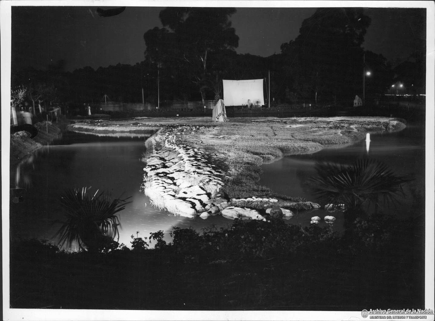
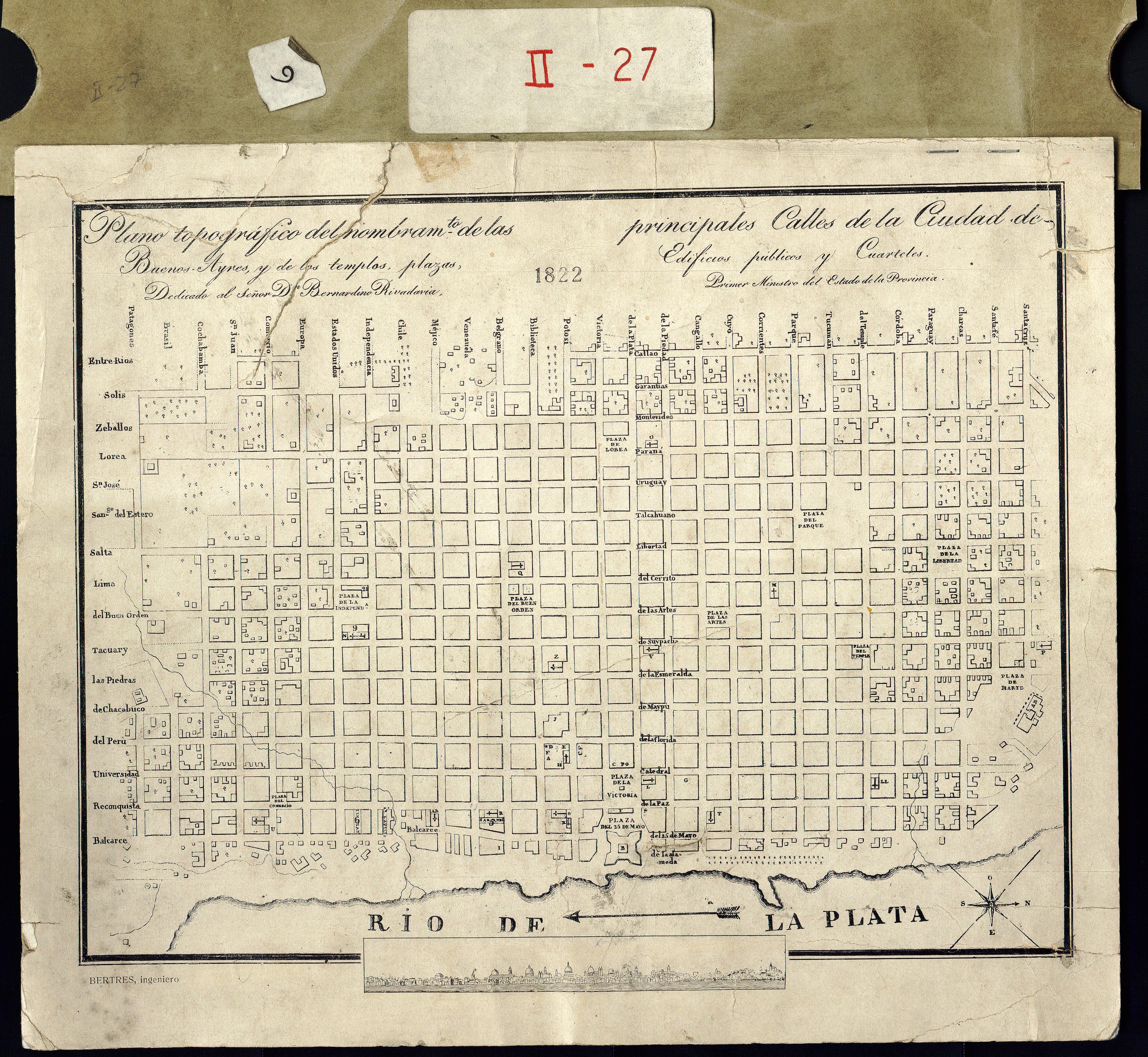
After the hills, in all that area we love to point out while telling our foreign friends “the water used to reach up to here” or “all this was once river,” lie the results of the systematized and poorly organized anthropization of the twentieth century. To govern is to fill in, they seem to have agreed, in a pact that transcends political ideas and even time itself, and that unites mayors, municipal officials, and heads of government of the most diverse origins: everything that lies after the hill (residential buildings, streets, parks, port and logistics facilities, hotels, offices, stadiums, clubs) is the result of the only agreement respected by all, besides faith in the regular grid as an articulating device of urban space.
In the curve of the parabola traced between “the grid and the park” and “the grid and the mud,” for the most attentive and shrewd eyes, perhaps the answer lies encoded to one of the most repeated and trivialized —yet still unanswered— questions of the porteño urban condition: why does Buenos Aires turn its back on the River? At the end of the day, it would seem that filling in is nothing more than an act of denial of the original limit, an artificial ruse to postpone finding the solution to the problem of what to do with the coast.