Floodable Thoughts | by Cooperativa Espacial
...



Before the city’s expansion piped them underground, a network of streams once ran freely through the Buenos Aires territory, shaping its relief, feeding its vegetation, and conditioning the development of different neighborhoods. The streams were part of the natural environment typical of the Pampas plain, with irregular, winding courses that easily overflowed with rain, creating flooded areas, marshes, and small wetlands before finally emptying into the Río de la Plata.
In their natural state, the streams were not only part of the landscape but also of a diverse, dynamic ecosystem. Their banks were lined with native vegetation: reeds, native willows, grasses, and other species. This vegetation not only protected the stream beds but also served as shelter and food for a wide variety of local fauna that lived around the water.
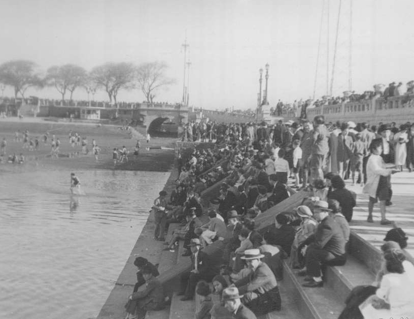
In many cases, their courses shaped the city from its very origins: they conditioned the location of the first settlements, served as points of reference, and defined neighborhood boundaries. They played a central role in the daily life of the inhabitants of Buenos Aires during the eighteenth and nineteenth centuries. They were a source of water for washing clothes, watering market gardens, and domestic supply. In some stretches, they were even used as spaces for recreation. Slowly, however, they began to be seen as a threat. Often waterlogged and unstable, the banks of these courses were occupied by populations that fell victim to sudden floods and unhealthy living conditions. The absence of sanitary infrastructure meant they were also used as dumping grounds for waste and sewage, which progressively turned them into hotbeds of contamination and the spread of infectious diseases. Thus, the streams went from being allies of the natural environment to becoming a problem for public health and urban development. Beginning in the nineteenth century and, more intensely, from the mid-twentieth century onward, most of them were channeled and piped underground as part of a logic of hydraulic control and urban expansion. The aim was to prevent flooding, sanitize public space, free up land for construction, and dissolve the physical marks of an unruly geography. The modern city did not merely render them invisible: it reorganized them as technical systems, without symbolic value or urban recognition.
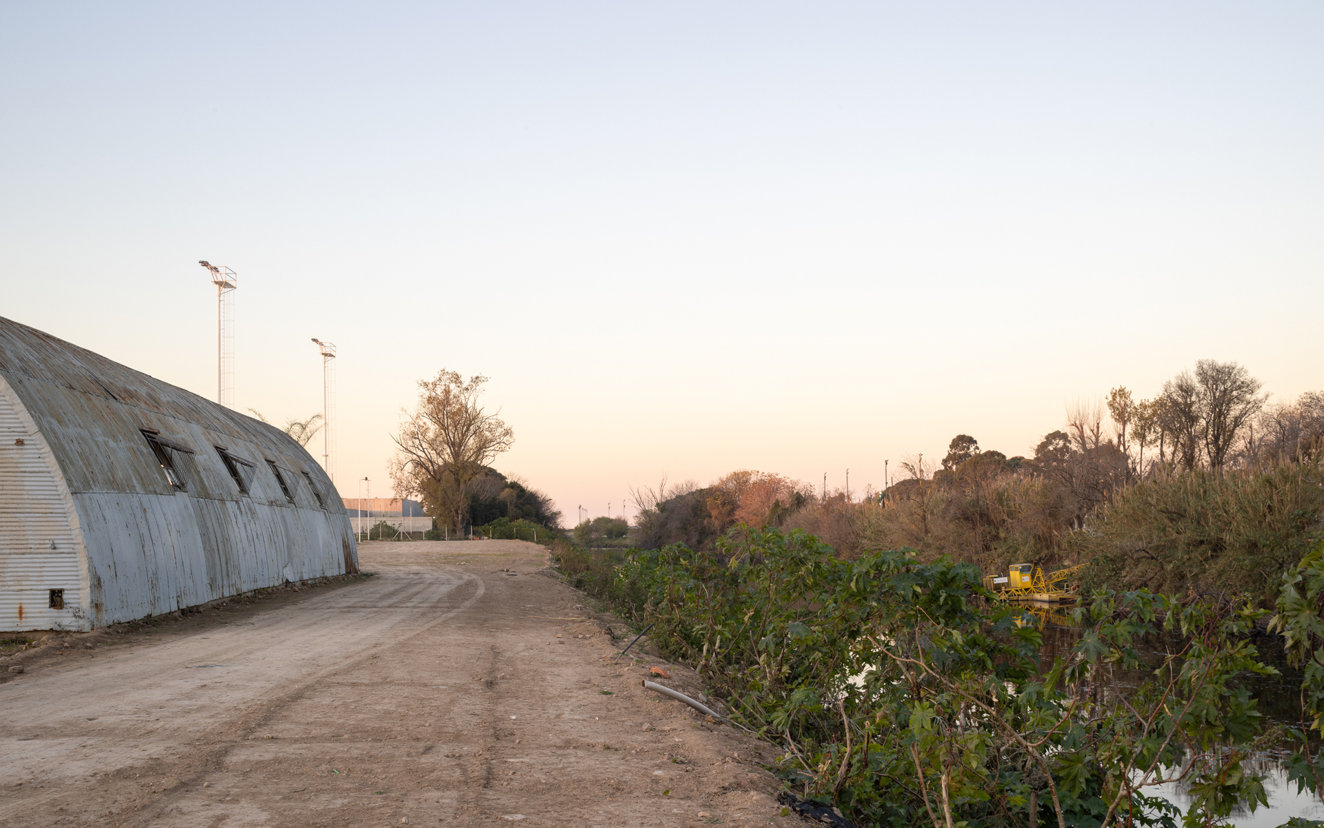
Today that network remains active but hidden. Buenos Aires has at least eleven main piped streams that run across much of the city’s territory. Some originate in localities of the province —such as the Cildañez, White, or Medrano streams, which enter from La Matanza, Tres de Febrero, and San Martín— while others are born within the city, like the Maldonado or the Vega, fed by headwaters in high-lying areas such as Villa Devoto, Agronomía, or Saavedra.
Without distinguishing administrative boundaries, land-use codes, or social strata, these watercourses run through very diverse neighborhoods. The Maldonado stream, for example, originates in La Matanza, then enters the city of Buenos Aires and crosses it from west to east beneath Avenida Juan B. Justo, from Liniers to Palermo. The Medrano crosses Saavedra and Núñez. The Vega runs beneath Villa Devoto, Belgrano, and Núñez; the Cildañez crosses Villa Lugano and Mataderos and empties into the Matanza River. To these are added others, less well known, such as the Ochoa, the Ugarteche, the Erézcano, or the Larrazábal, which wind beneath the city along less obvious paths. In general, their outlets into the Río de la Plata occur through emissaries or stormwater mouths located on coastal margins that are hard to access, without scenic qualities or, in many cases, any direct relationship to public spaces.
The waters they carry combine stormwater drainage with illegal sewage effluents, clandestine connections, or overloads of the system. Although they are fundamental infrastructure for the functioning of the city, they are not part of its visual or symbolic identity. In recent years, some state initiatives —such as the installation of signs and roadway markings indicating the passage of buried streams— have begun to mark their existence. This, however, happens in a fragmentary way and without a plan that invites a critical review of their current role, or the imagining of more visible, even hypothetical, forms of integration into the urban fabric.
While it is fair to acknowledge that in many cases the burial responded to reasonable decisions, it is also necessary to point out how this concealment carries with it a loss of awareness of the natural geography that supports and structures the city. Subtle anomalies in the relief, interruptions in the urban layout, or obsolete infrastructure all serve as more or less visible traces of an underground geography that persists, even when unnamed and unseen.
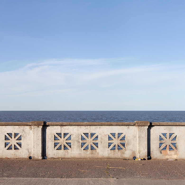
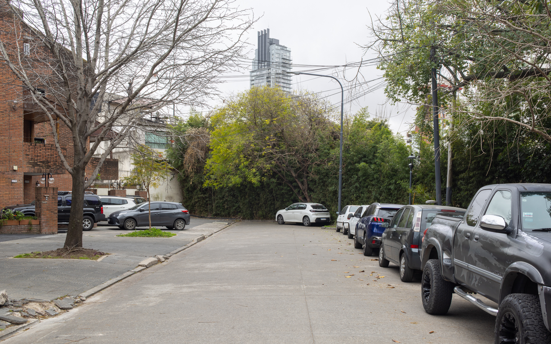
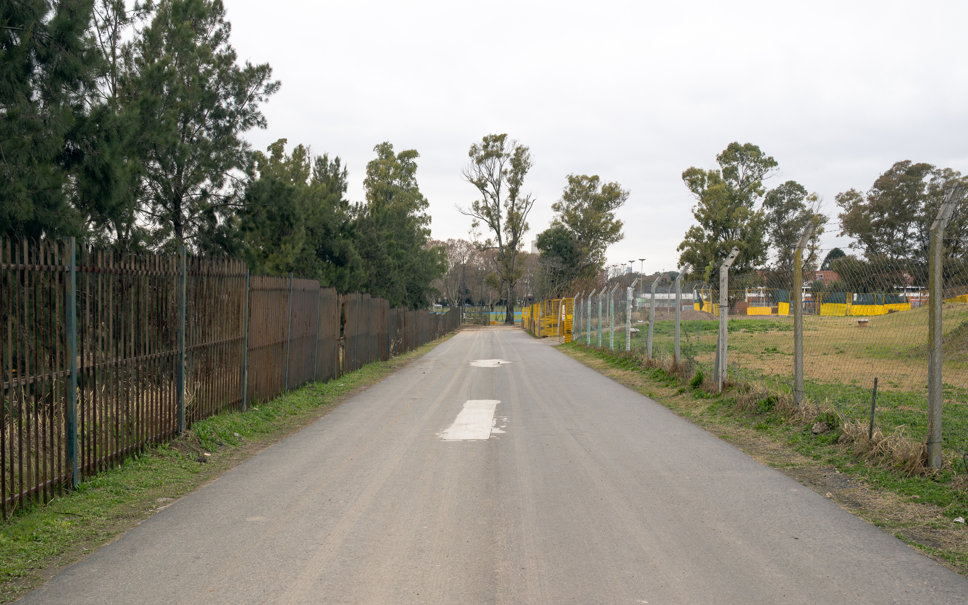
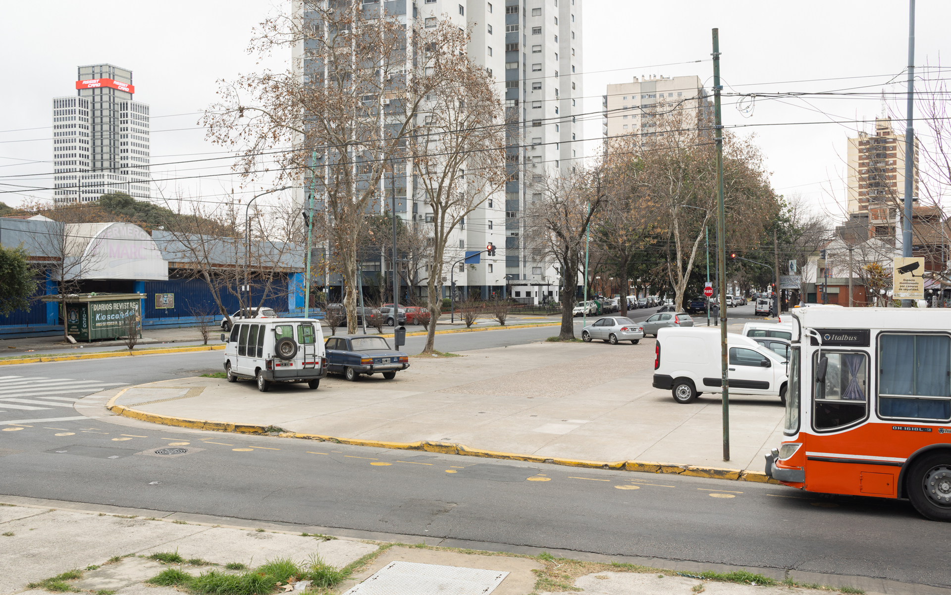
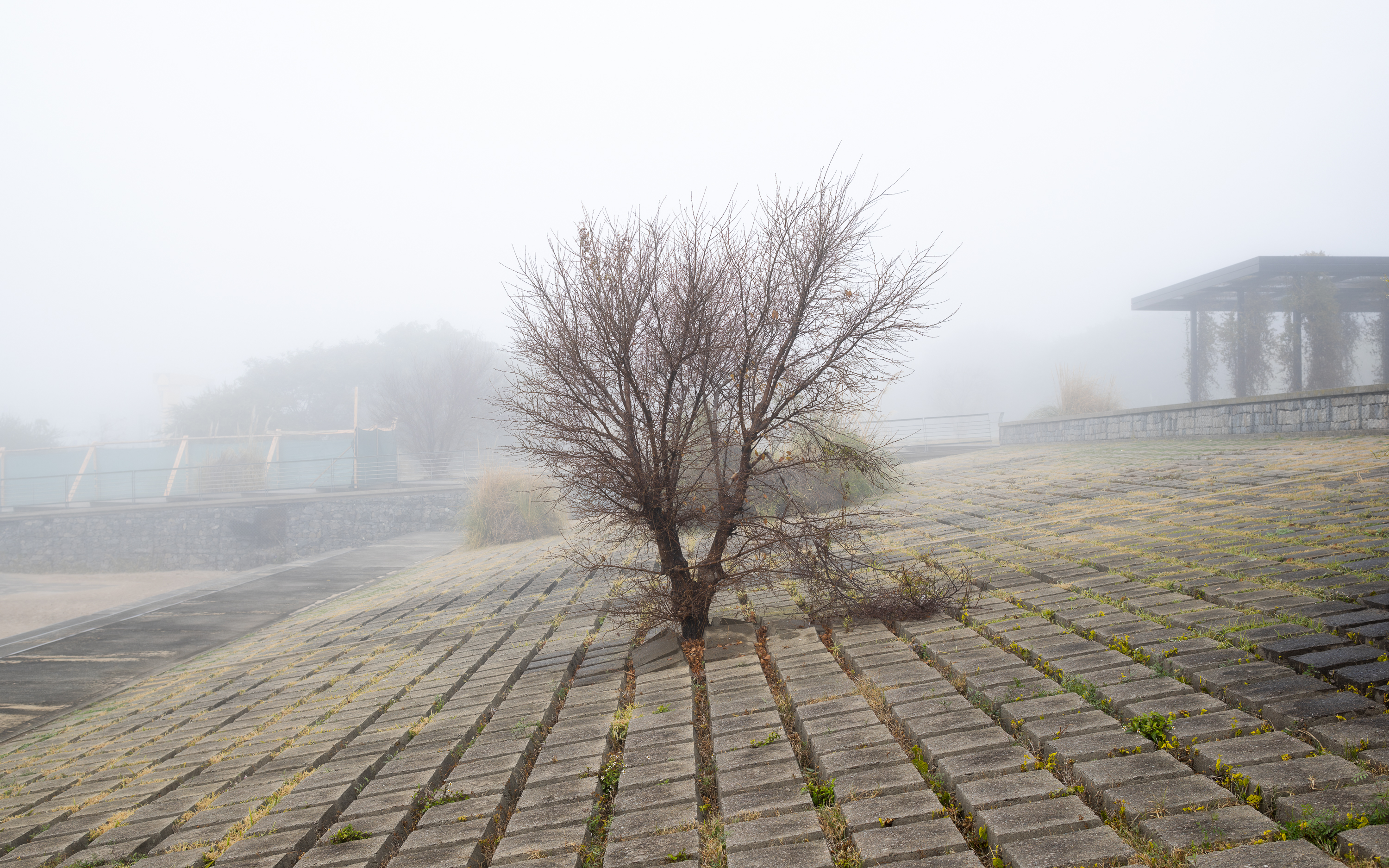
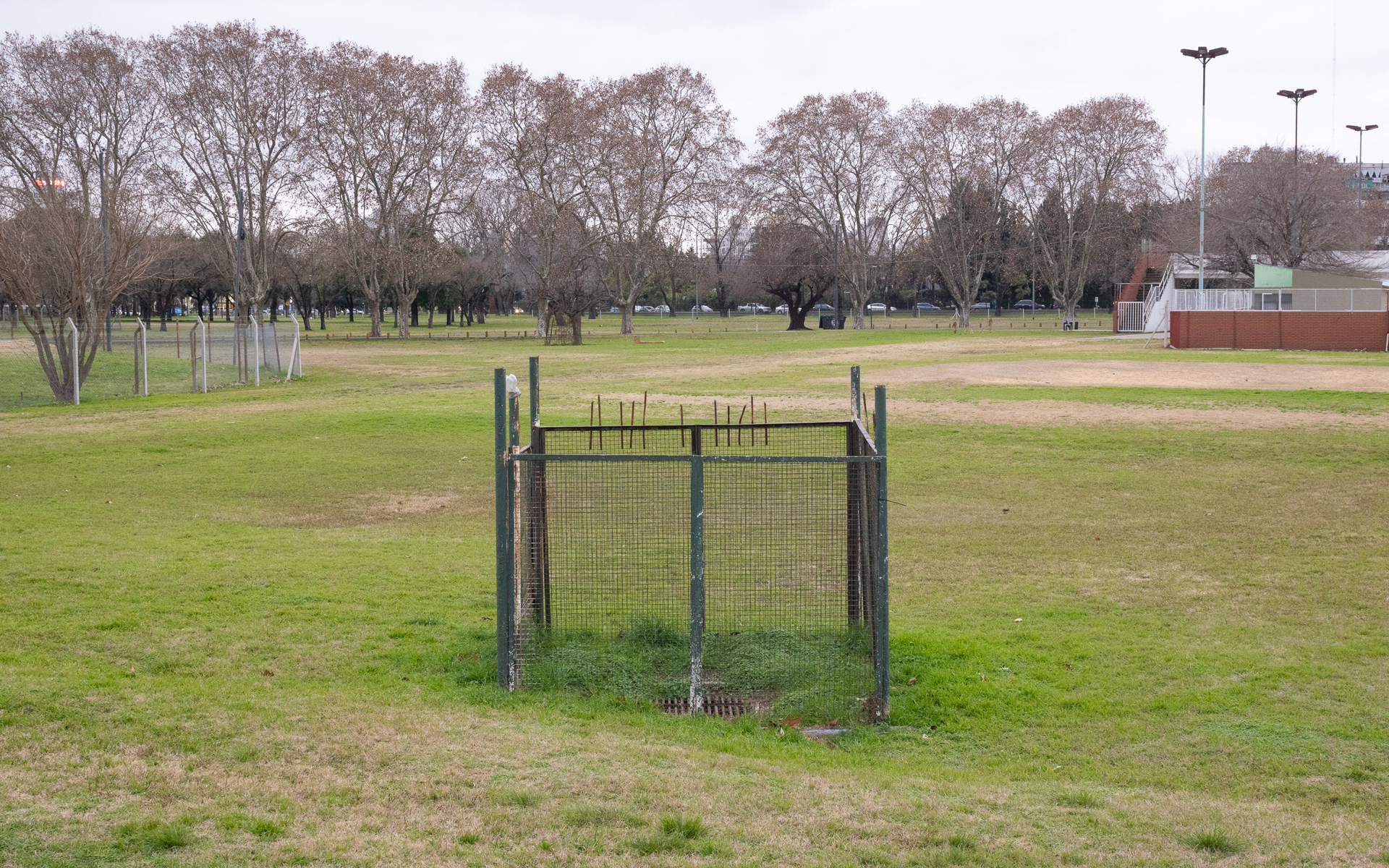
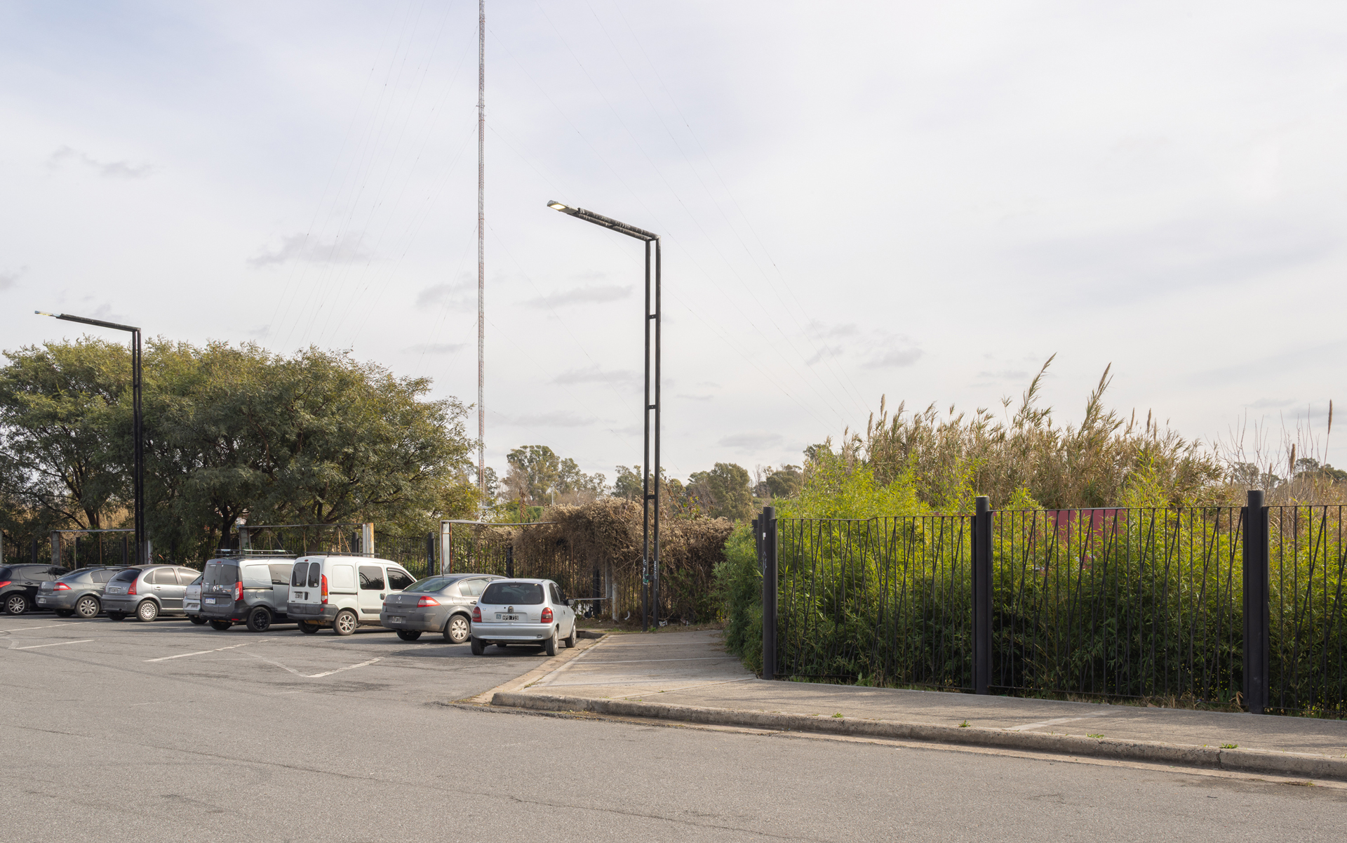
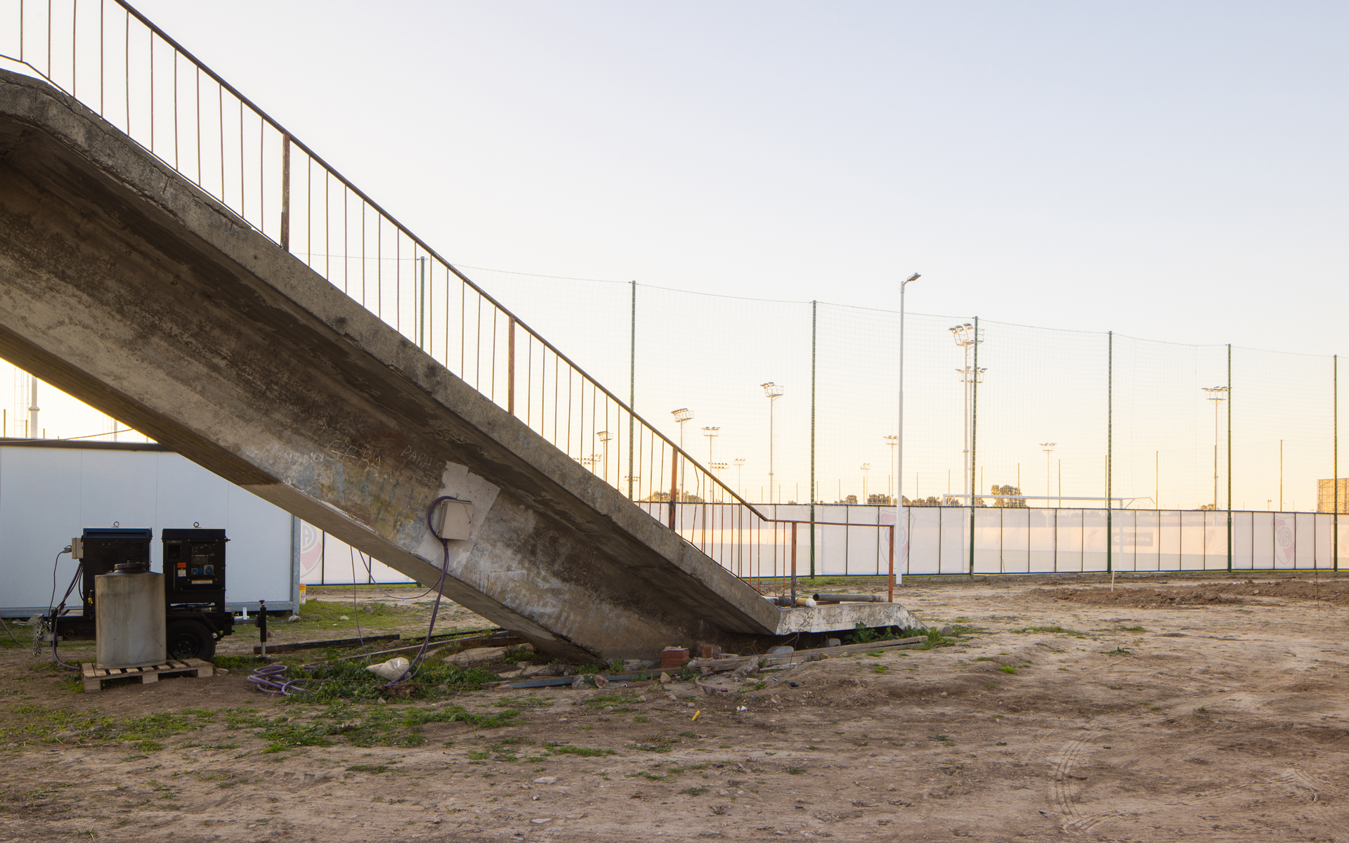
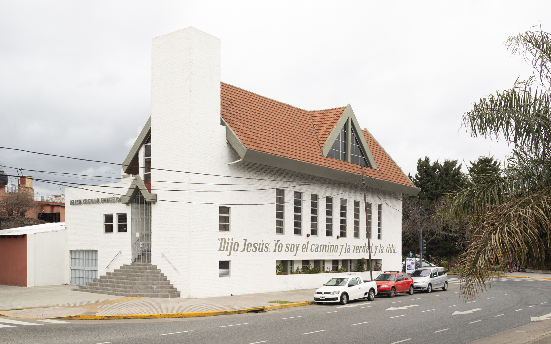
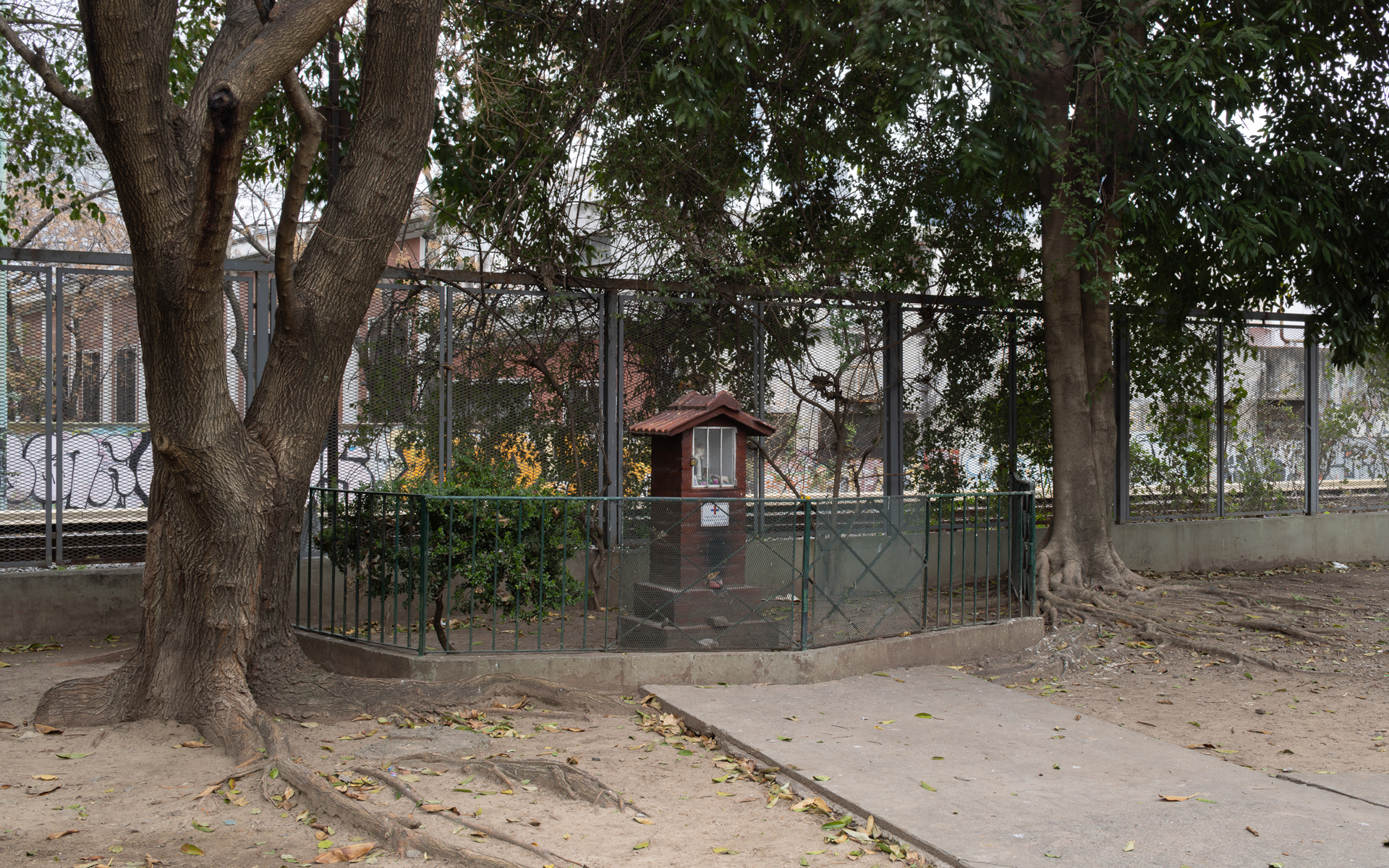
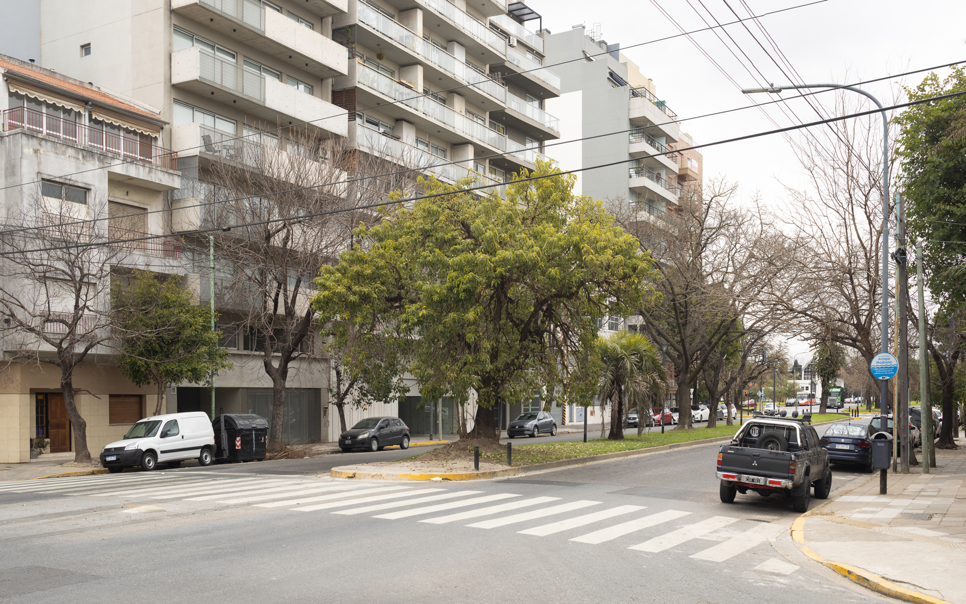
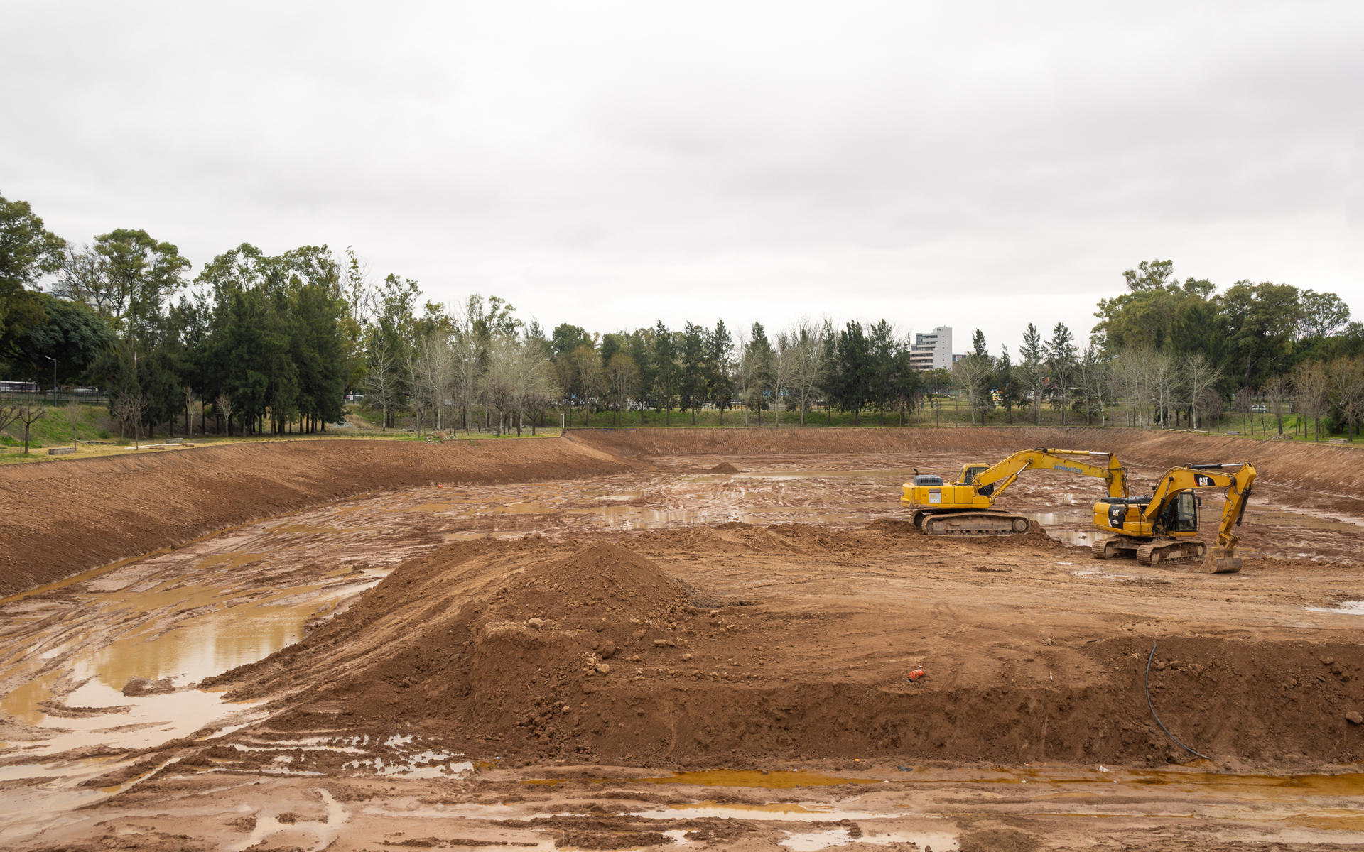
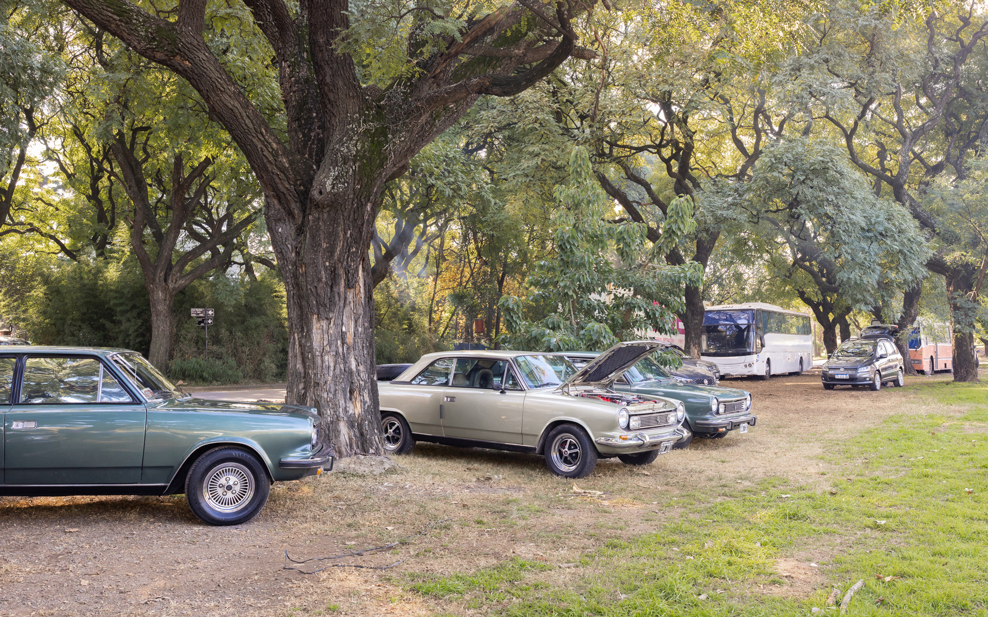
Within this double register —presence hinted at and presence denied— this set of photographs proposes a critical reading of the relationship between Buenos Aires and its hydric nature. The images do not attempt to reveal an underground secret nor to romanticize something concealed. They do not portray streams, nor do they illustrate the underground phenomenon. Instead, they propose a close reading of the territory through its marks, absences, possible correspondences, and even sheer unknowing. At times, the images capture the very shape of the old stream bed, as if the stream still shaped the surface from below. In other cases, what is photographed is nothing more than a silent witness: a slight inflection in the layout, a vacant area, a minor anomaly hinting at proximity.
The photographs place the idea of evidence under tension: some images hint or reveal; others simply record what seems to say nothing.
He graduated as an architect from the University of Buenos Aires (FADU, UBA) and studied photography at the Escuela de Fotografía Creativa. In 2017 he joined the team of the architecture magazine PLOT, where he worked as photographer, editor, and executive editor until 2024. He taught architectural design between 2011 and 2019 (FADU-UBA), and since 2015 he has been an adjunct professor of the course Photography and Territory at Universidad Torcuato Di Tella. His practice as a photographer showcases the work of architects, landscape architects, and artists. He has taken part in various group exhibitions, among them the Photography Exhibition of the Latin American Architecture Biennial (Navarra, Spain, 2017), and the exhibitions Diseño en Acción (Buenos Aires, Argentina, 2018) and Pica pica bajada cordón (Buenos Aires, Argentina, 2024), both at Fundación Proa. He currently combines his practice as a photographer with his work as director of the Editorial Di Tella Arquitectura at Universidad Torcuato Di Tella.